
How to check a PondSheet report
For a plan reviewer handed a PondSheet link or report: what each part shows, how to re-run the routing in EPA SWMM, and what the engineer’s seal covers. No account is needed for any of it.
What the share link holds
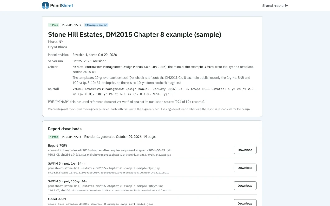
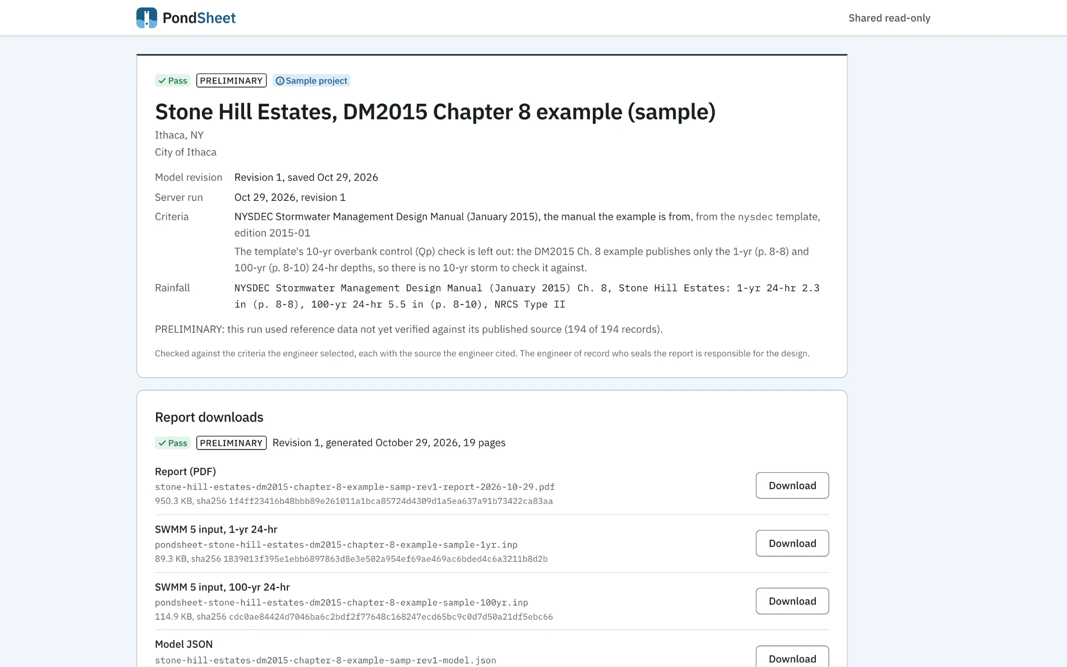
The page reads like the report’s first page and serves the firm’s stored run, read only. The firm can revoke the link, and a new link retires the old one.
- Title block
- The verdict, the project, its municipality, the model revision and the server run, the criteria the engineer selected and the rainfall source.
- Downloads
- The PDF report, a SWMM 5 .inp per storm and the model as JSON, each with its file name, size and SHA-256.
- Checks
- Each check with its status, the comparison in numbers and units, and the source the engineer cited.
- Results
- The hydrographs, water level and pond section per storm, and the peak table for each pond and design point.
- Notes
- The engine’s notes, failures first, each naming its row.
- Data and versions
- The frozen rainfall and soils with the files they came from, the site, and the engine, reference data and rules versions with the inputs hash.
Reading the report
The PDF opens on a summary and the checks against the selected criteria. Then come the project and site, data provenance, the criteria, the drainage areas, the ponds and outlets, and the results by storm. The charts, the notes, the hydrograph tables and an appendix of files and reference data close it.
- Verdict
- Pass when every selected check passes and Fail when any fails. Incomplete means a selected check could not run; No checks means none were selected; Draft means the model is not complete. Only Fail is red.
- Each check
- The computed value against the required one, with units, then the source the engineer typed, often a manual section. A check with no source says so. A check that passes on a provision, such as the minimum orifice size, says by provision.
- Criteria
- The check set by name. One started from a built-in template, such as the NYSDEC manual, names the template and its edition; the engineer may have edited it.
- Provenance
- The rainfall dataset with its retrieval date, the soil survey, and the engine, reference data and rules versions. The same inputs through the same versions give the same result fingerprint.
- PRELIMINARY
- Printed while any reference value the run used, such as a CN table row or a weir coefficient, has not yet been checked against its printed source. The report names each such value.
- TRIAL
- Printed on every page of a report generated during the firm’s PondSheet trial. It says nothing about the numbers, which are computed the same way.
Every equation, with its document and page, is on the methods table: TR-55 and NEH 630 for the runoff and routing, HEC-22 and HDS-5 for the outlets.
Re-running the routing in EPA SWMM
Each storm’s .inp holds the pond’s stage-storage, its outlets and PondSheet’s inflow hydrographs. Open it in EPA SWMM 5, run it, and compare each pond’s peak water surface and peak outflow with the report’s results by storm.
SWMM has no NRCS unit hydrograph, so the runoff enters the file as inflow time series: the run checks the routing and the outlets, not the rainfall-runoff. Where a barrel controls at or near the peak, the file carries that pond’s outlets as one rating tabulated from PondSheet, and the report says so for the pond.
PondSheet runs the exports of its own test models (13 storms) in EPA SWMM 5.2.4. Peak water surfaces agree within 0.008 ft, and peak flows within 0.3 % wherever the flow is 0.1 cfs or more. The table is on the validation page.
What the engineer’s seal covers
The engineer of record who seals the report is responsible for the design. PondSheet does the arithmetic on the inputs given, checks it against the criteria the engineer selected and shows its work. It does not speak for a state agency, the town or the reviewer.
Every report carries this statement: “Calculations by PondSheet on the inputs shown. The engineer who seals this report is responsible for the design and for checking every input.”
The drainage area maps, the soil survey map, construction details and the downstream analysis are prepared separately; every report lists them as not included, and the help page has the full list.